GIS Training Program

Geographic Information System (GIS) is a powerful framework that enables the collection, management, analysis, and visualization of spatial and geographic data to help solve real-world problems.

Career Opportunities With in The GIS Courses

Unlock a challenges of Career Opportunities with GIS Certification

Our comprehensive drone pilot training program is designed to equip you with the skills and certification needed to excel in this rapidly growing industry.

Confusing Learning Path

Many novice GIS analysts struggle to navigate the overwhelming information and lack structured guidance, leading to confusion.

Lack of Mentorship

Finding experienced mentors is difficult, leaving learners without hands-on support to truly master GIS concepts.

Information Overload

The sheer volume of GIS resources can be intimidating, making it hard for beginners to identify and focus on key learning areas.

Drone Training Group

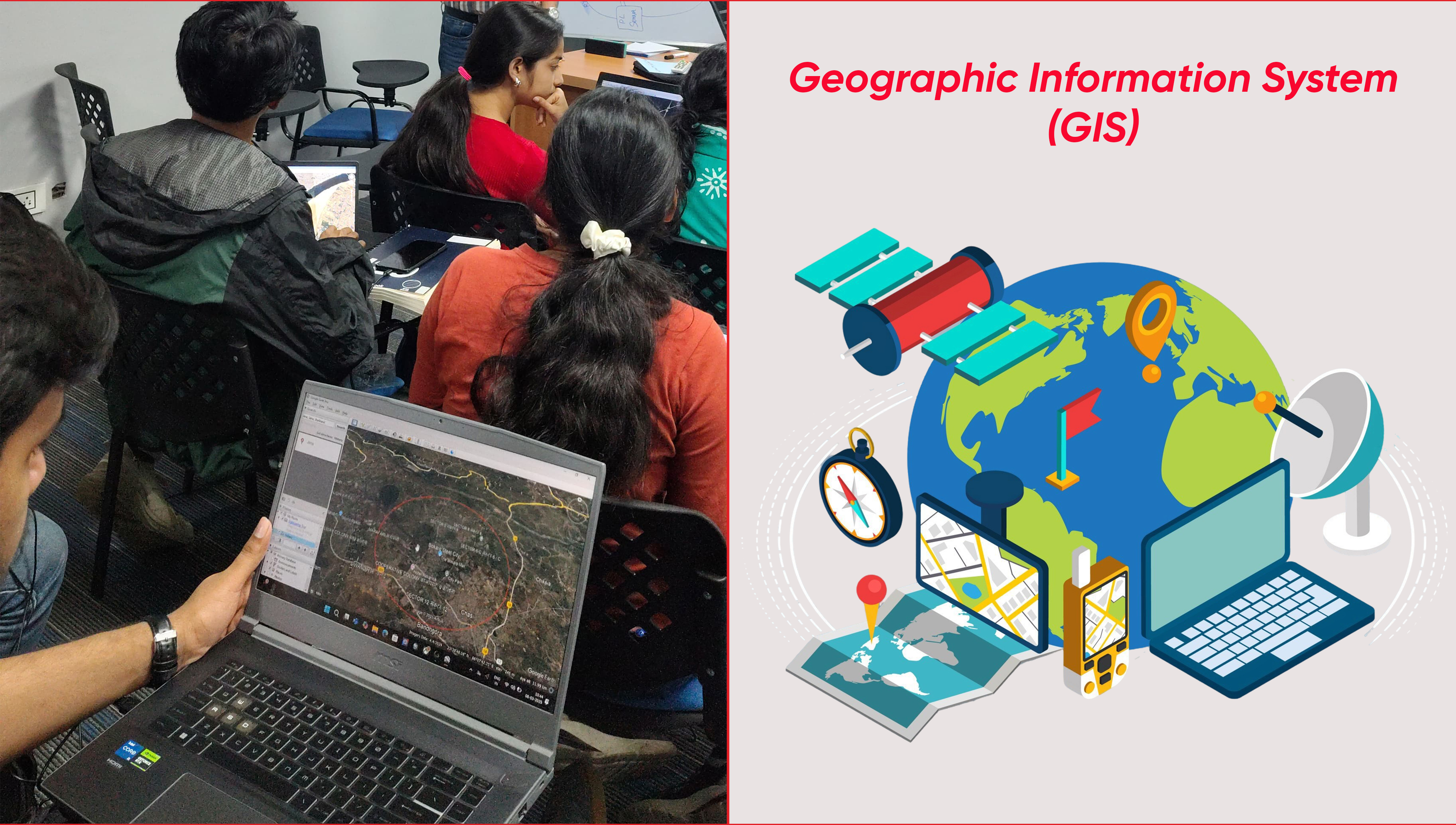
Join the Booming GIS Course

We are a learning initiative dedicated to introducing participants to the core concepts of Geographic Information Systems (GIS). Our goal is to provide hands-on experience with leading GIS tools, enabling learners to work with real-world spatial data and tackle practical challenges. We also promote awareness of GIS career paths across industries like urban planning, environment, disaster management, and public health, while fostering a collaborative community for ongoing growth and knowledge sharing.

500+ Certified Student
50+ Corporate Partners
Training Centers

Curriculum & Syllabus

Complete Courses for Aspiring Professional GIS with Theory & Practical On-Ground Flying Certification.

Professional Drone

GIS Software

ArcGIS, QGIS, Google Earth Pro.

Drone Technology

High-resolution aerial imagery, LiDAR, and multispectral sensors.

Data Formats

Vector (Shapefiles, GeoJSON), Raster. (GeoTIFF, JPEG 2000), Point Clouds

Course Highlights

Duration:

4 Weeks (Immersive, structured learning path) 25 to 30 hours/week.

Modules: Online and Offline

Offline (in-person training sessions with live instruction and group work)

Timings:

9:00 AM to 5:00 PM

Level:

Beginner to Intermediate (No prior GIS experience required)

Certification:

Yes – Industry-recognized certificate issued on successful completion

Placement Support:

Yes – Resume review, mock interviews, company connections and 2 job interviews guarantee.

Batch Size:

Limited to ensure personalized learning

Fees:

₹25,000 + GST

Applications of GIS

  • Urban Planning: Smart city development, traffic management, and infrastructure planning.
  • Agriculture: Precision farming, crop monitoring, Crop Yield Estimation and soil analysis
  • Disaster Management: Flood mapping, earthquake risk assessment, Forest Fire Risk Assessment and emergency response
  • Environmental Monitoring: Deforestation tracking, climate change analysis, and water resource management.
  • Military and Defense: Terrain analysis, surveillance, and strategic planning.
Drone Training

Why Choose This Course?

01

Expert-Led Training

Learn from seasoned professionals with 5+ years of experience and gain insights aligned with current industry demands.

02

Career Advancement

Unlock roles such as GIS Analyst, Urban Planner, Drone Operator, and more, with strong placement support and industry connections.

03

Real World Skills

Work on real-world projects using advanced GIS software, drone technology, and case studies for true job readiness.

04

Future Ready

Master emerging tools like AI, IoT, and 3D mapping integrated with GIS to stay ahead in a rapidly evolving field.

Frequently Asked Questions (FAQs)

Ready to Launch Your Career in Geographic Information Systems (GIS)?

Join our next batch starting July 15, 2025 and transform your passion into a professional career with unlimited growth potential.